Explore your projects in 3D
Lightweight 3D models viewable anywhere, on any device - perfect for showcasing progress, sharing with clients, or aligning your team.
Zoom + drag
to interact with
3D demo
(hover to hide)
Left-click - Rotate Camera | Right-click - Pan Camera | Mouse Wheel - Zoom In/Zoom Out
Try It 100% Risk Free!

Not sure if this is right for your team? We'll create your first 3D model at no cost. No contracts. No obligations.
Click the button to fill out the quick form below, and we’ll get in touch to schedule your flight. You’ll receive a lightweight, mobile-friendly 3D model that’s easy to share with your team or clients.
We truly believe in the value that we provide and we think you will too.
Why Choose 3D Visualization?
mobile-friendly
Viewable on phones, tablets, and desktops with no special software
time-saving
Save time and money by cutting back on extra site visits.
better communication
3D views help everyone understand site conditions and project progress instantly.
How It Works
1. Send site details
Share your project location and requirements. We handle the rest.
2. capture and process
Drone imagery is captured and processed into a practical 3D model.
3. share & collaborate
Access and share your 3D model instantly with your team or clients online.
Other Services
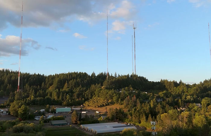
Aerial Photography
Capture places in their best light with professional aerial photography that highlights scale, setting, and detail in ways ground-level photos cannot. From real estate listings to construction updates, marketing campaigns, and community projects, these images tell stories that connect with people and showcase what makes your space unique. Every photo is composed to inform and impress, giving your property or project a strong visual presence. Easily shared across devices and platforms, aerial photography provides a versatile tool that works equally well for documentation, promotion, or presentations.

2D Mapping & Orthomosaics
Detailed 2D aerial maps and orthomosaic images created through photogrammetry, offering clear overviews of sites, properties, and landscapes for planning, visualization, and project communication. These maps are ideal for tracking site progress, documenting changes over time, and supporting project management with a bird’s-eye perspective that ground-based imagery cannot provide. Easy to share across devices, they serve as practical tools for teams, stakeholders, and clients who need an accurate visual reference of a location.
NOTE: these 2D maps are not survey-grade and are intended for visualization, documentation, and general project use only.

Aerial Videography
Bring your story to life with smooth, cinematic 4K aerial video that adds motion and energy to your visuals. Whether it’s a sweeping real estate tour, a community showcase, or a construction project highlight, video provides a dynamic perspective that engages audiences in ways still photos can’t. Crisp resolution and fluid movement ensure every detail is captured with impact, making your project or property stand out. Like our photos and 3D models, videos are simple to share and integrate across devices, giving you compelling content that inspires and communicates with clarity.